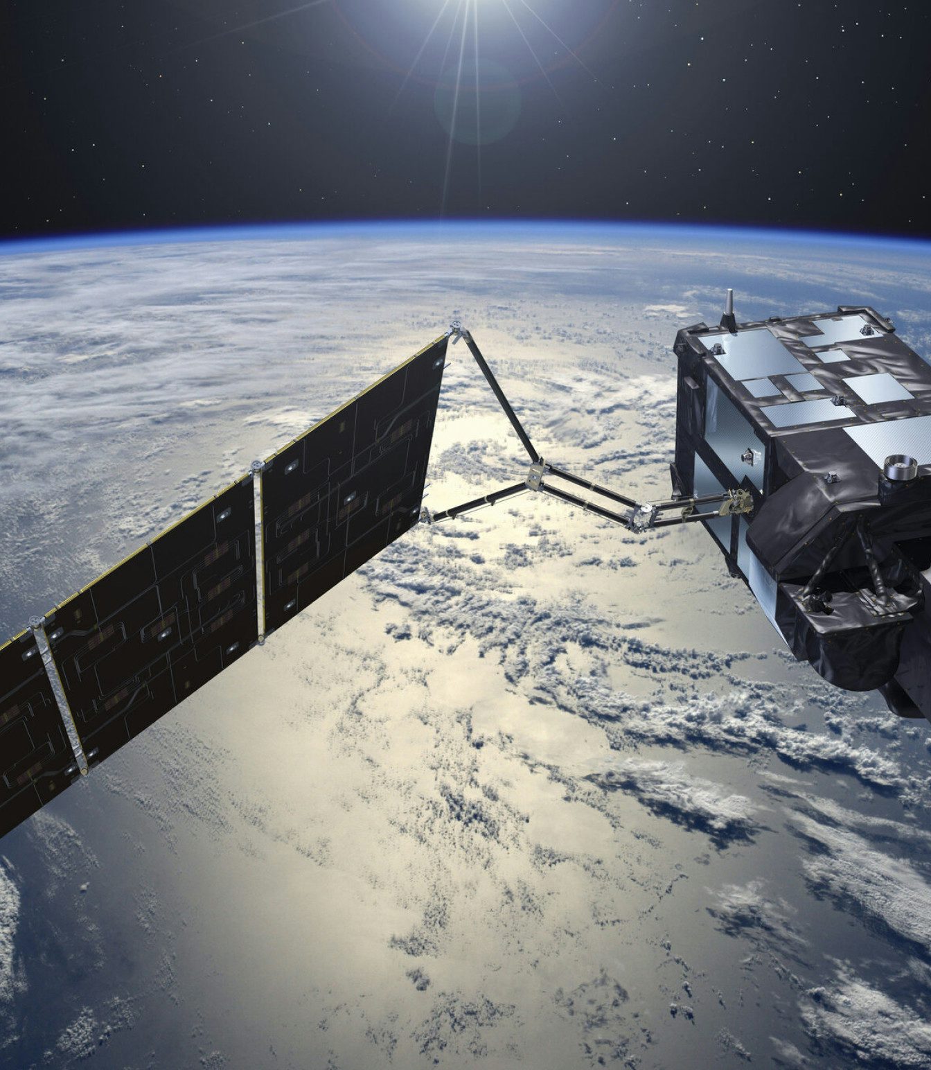
Our long trajectory in Earth observation allows us to use different satellite technologies - radar and optical remote sensing, to derive factual and precise data records. We complement our evidence with ground monitoring and models to draw detailed conclusions and convey scientifically proven predictions.
The latest science, innovation, and technology for your climate plans.
Multi-mission
satellite data
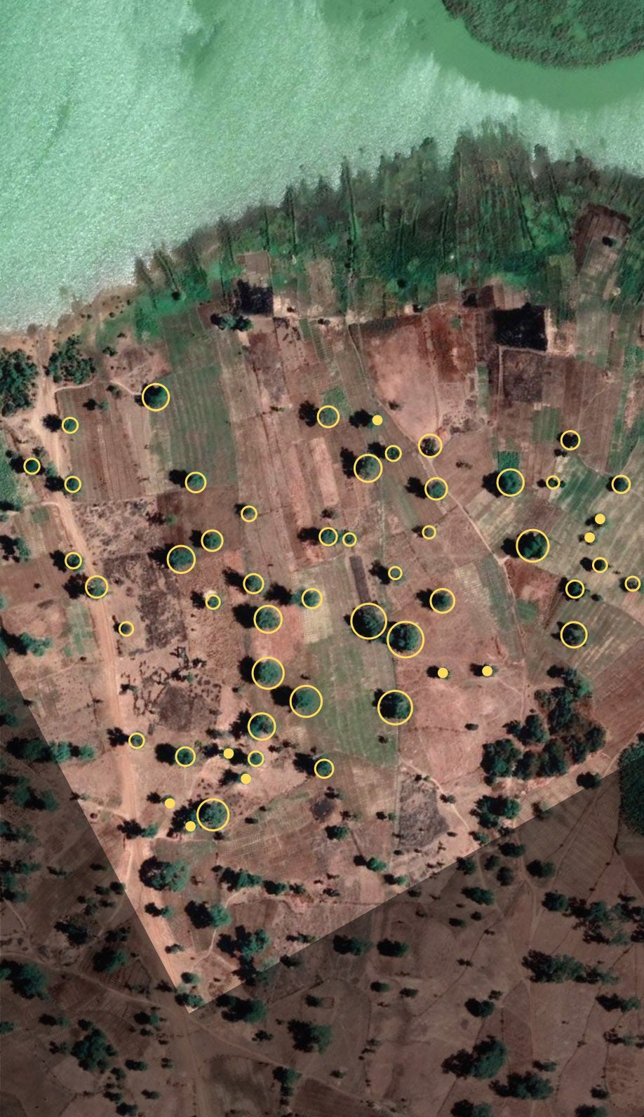
Identifying features with AI
We use artificial intelligence techniques to analyze satellite, climate, weather, environmental and socioeconomic data.
We process large amounts of data with machine learning algorithms to identify features and develop prediction models addressing climate risks, such as extreme drought or fires.
The likelihood of future climate extreme events and their associated uncertainty are calculated for all climate scenarios and periods, using hundreds of existing climate model runs gathered from international agencies and institutions.
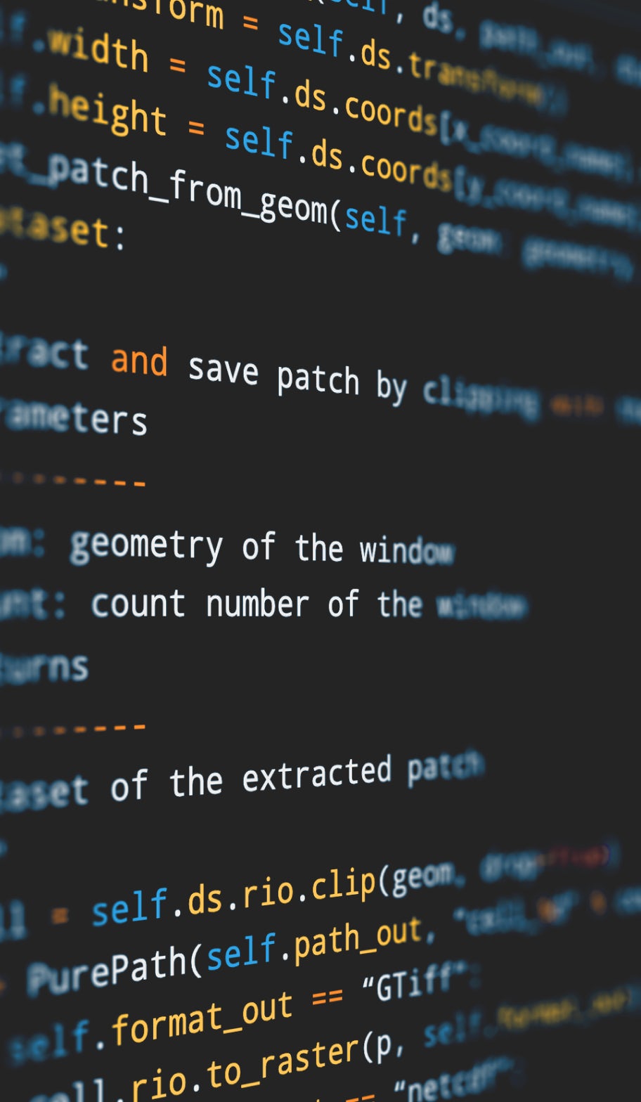
Software
ecosystem
We develop our own toolchain to facilitate the implementation of processing chains. The extensive download of Earth Observation data from heterogeneous sources, the organization of data catalogs, the use of lightweight data cubes, and the monitoring of processes guarantee the optimal functioning of our operational chains.
We expose the final data through APIs that are adapted to the needs of each client.
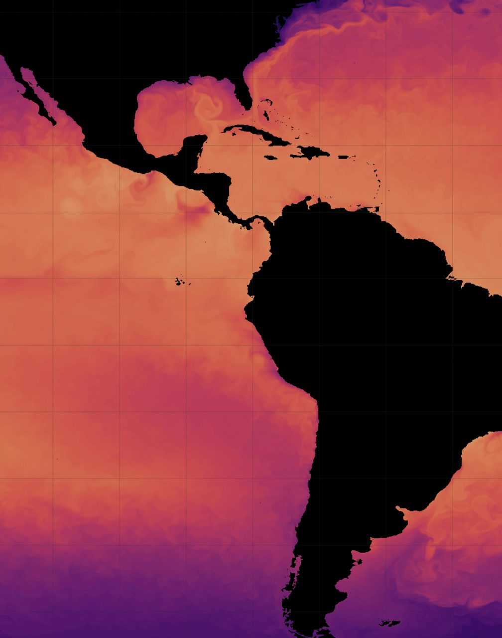
Data
visualization
Data visualization is crucial to Lobelia. We take care of all the details of visual aspects, to allow full exploration and analysis of the information.
Communication is also essential to us. We aim to bring scientific evidence to the general public, to create awareness and push for action.
Trusted by over 150 organizations in more than 50 countries