menu
How can soil moisture anticipate deadly locust outbreaks?
Client
FAO – United Nations
Location
Africa, Near East & Southwest Asia
Try viewer
Try viewer

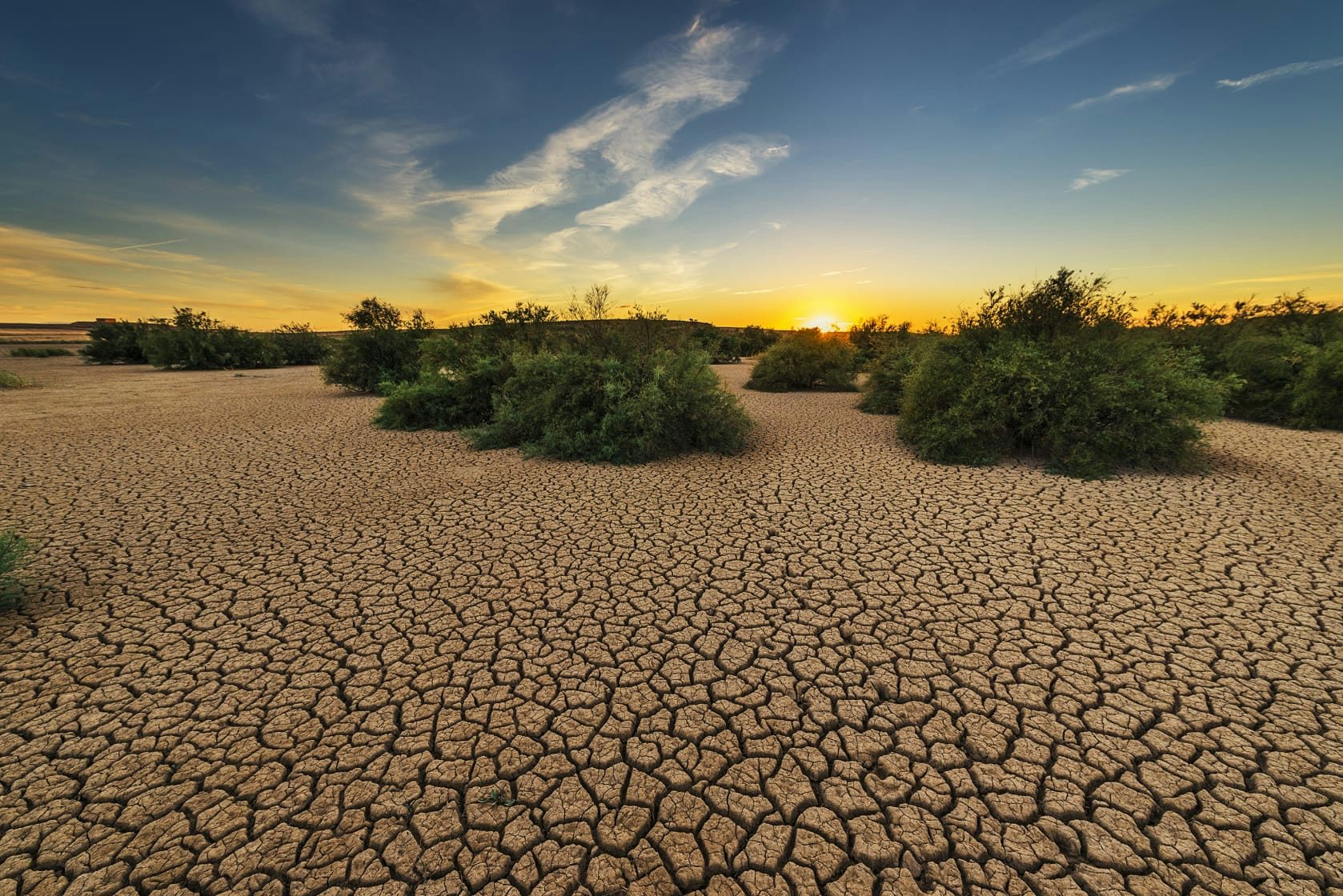
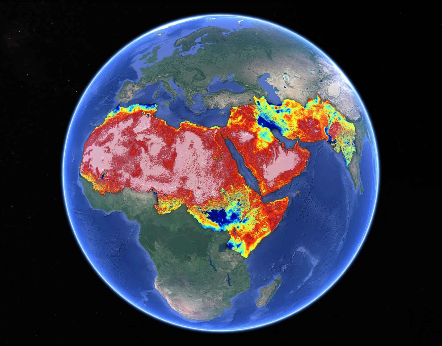
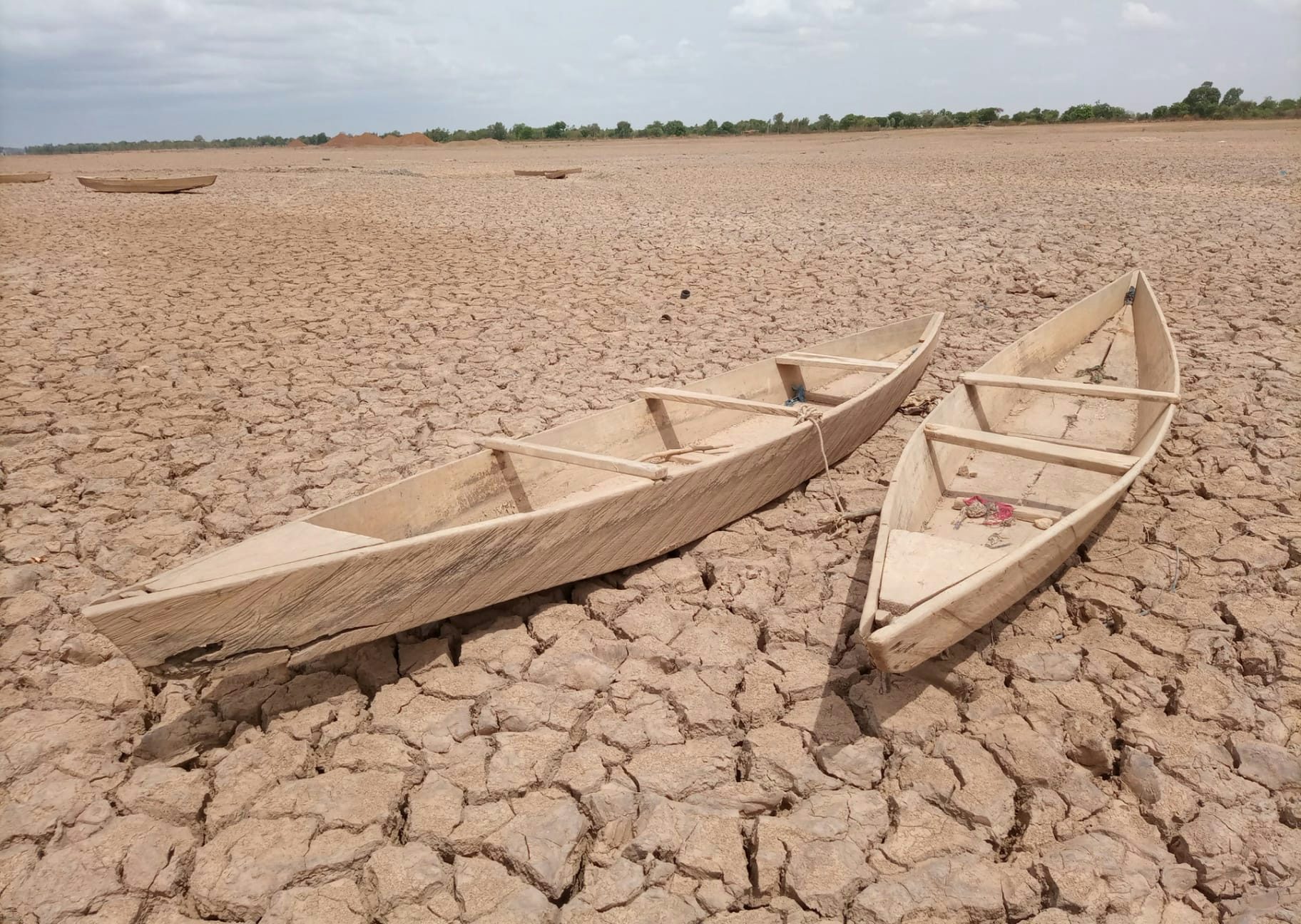
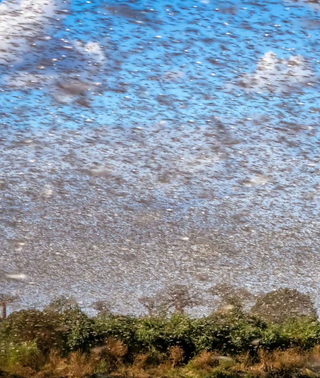
The desert locust plague represents a severe threat to food security and livelihoods in the already vulnerable region of Eastern Africa. Soil moisture is a very good indicator of the desert locust reproduction potential as locust females select moist sandy areas to lay their eggs.

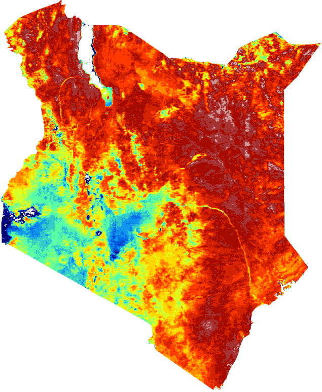
An operational service providing soil moisture data at 1 km resolution has been developed by Lobelia for the FAO Desert Locust Information Service’s early warning system.

Data provided by Lobelia allows decision-makers to anticipate potentially decimating locust outbreaks by 2 to 3 months and act accordingly.

Try viewer
Try viewer
We monitor soil moisture in more than
40 countries every day

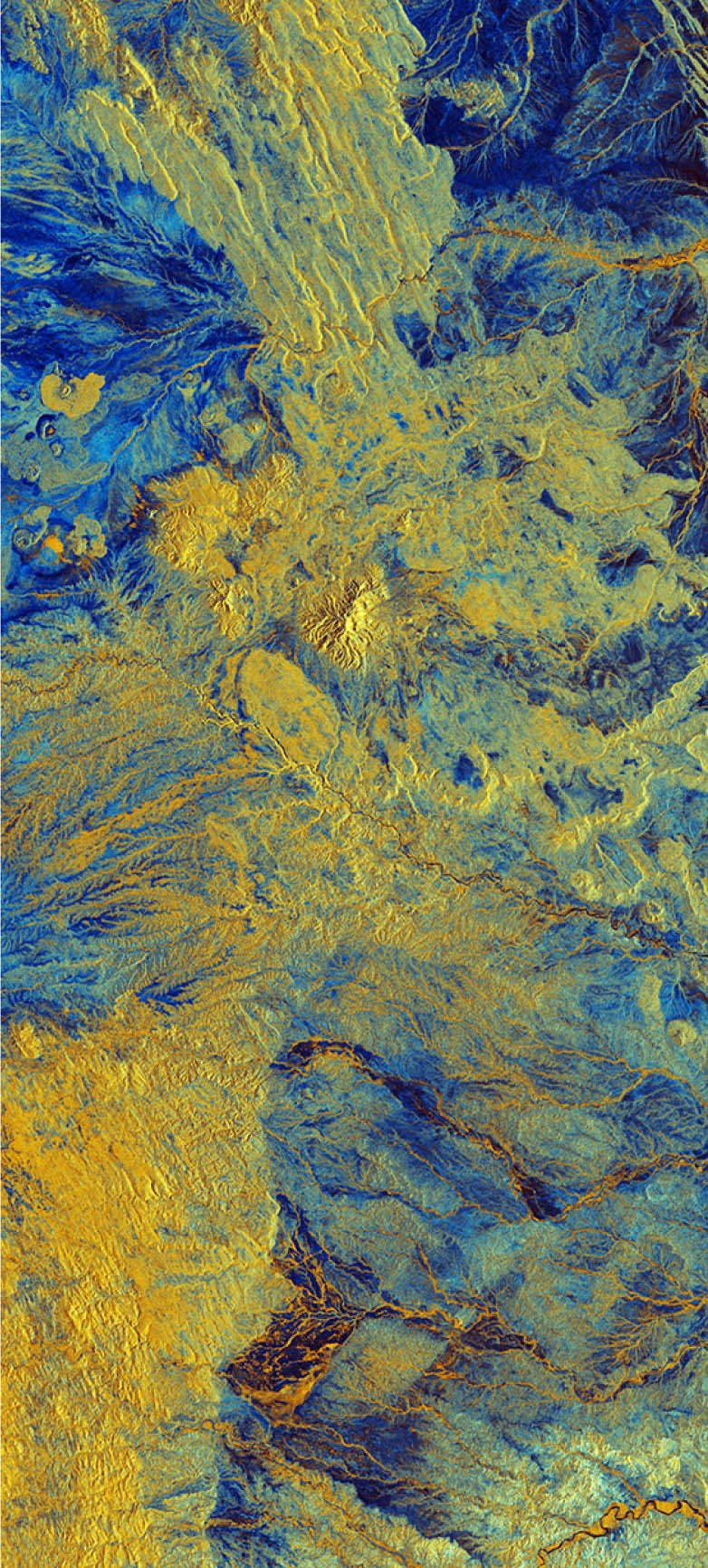
The Soil Moisture product is based on a disaggregation algorithm that takes coarser-resolution input from the SMAP and SMOS satellite missions. Combined with other inputs, it is able to generate global Soil Moisture maps at high resolution.

Large-scale systematic monitoring, currently running automatically in more than 40 countries
Exclusive and validated data at high resolution
Immediate implementation in new countries on demand
High-quality output for monitoring, risk modeling and forecasting
High temporal resolution (updated every day)
Access to temporal and spatial slices via API
Soil moisture data is used for
Water management and drought risk.
Plague prevention.
Wildfire prediction.
Horn of Africa
Reforestation monitoring.
Crop yield insurance.
Access via API

From our API to your software, easy to integrate with your workflow. Real-time access to spatial and temporal slices securely, automatically and with 24/7 availability.

Use your own viewer or Lobelia’s visualization platform.

 
{
"lat": 1.977,
"lon": 40.306,
"units": "m³/100m³",
"timeSeries": [
{ "date": "202101:1", "value": 7 },
{ "date": "202101:2", "value": 8 },
{ "date": "202102:0", "value": 7 },
{ "date": "202102:1", "value": 8 },
{ "date": "202102:2", "value": 7 },
{ "date": "202103:0", "value": 7 },
{ "date": "202103:1", "value": 11 },
{ "date": "202103:2", "value": 11 },
{ "date": "202104:0", "value": 12 },
{ "date": "202104:1", "value": 15 },
{ "date": "202104:2", "value": 14 },
{ "date": "202105:0", "value": 12 }
]
}
 
Content-Type image/tiff;subtype=geotiff

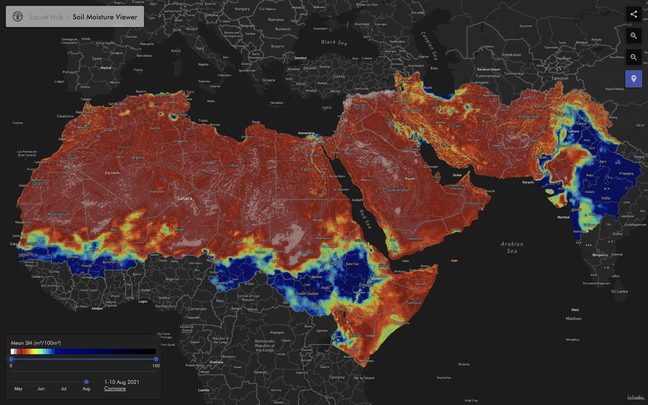
See the viewer in action in the ArcGIS FAO site

Interested?

Are you interested in Soil Moisture monitoring for decision-making purposes?

Lobelia can provide you with large-scale Soil Moisture index with a global spatial coverage, including long historical data records.

Next Project
Explore a digital view of the world’s oceans