Did you know that surface waters can be monitored remotely anywhere in the world?
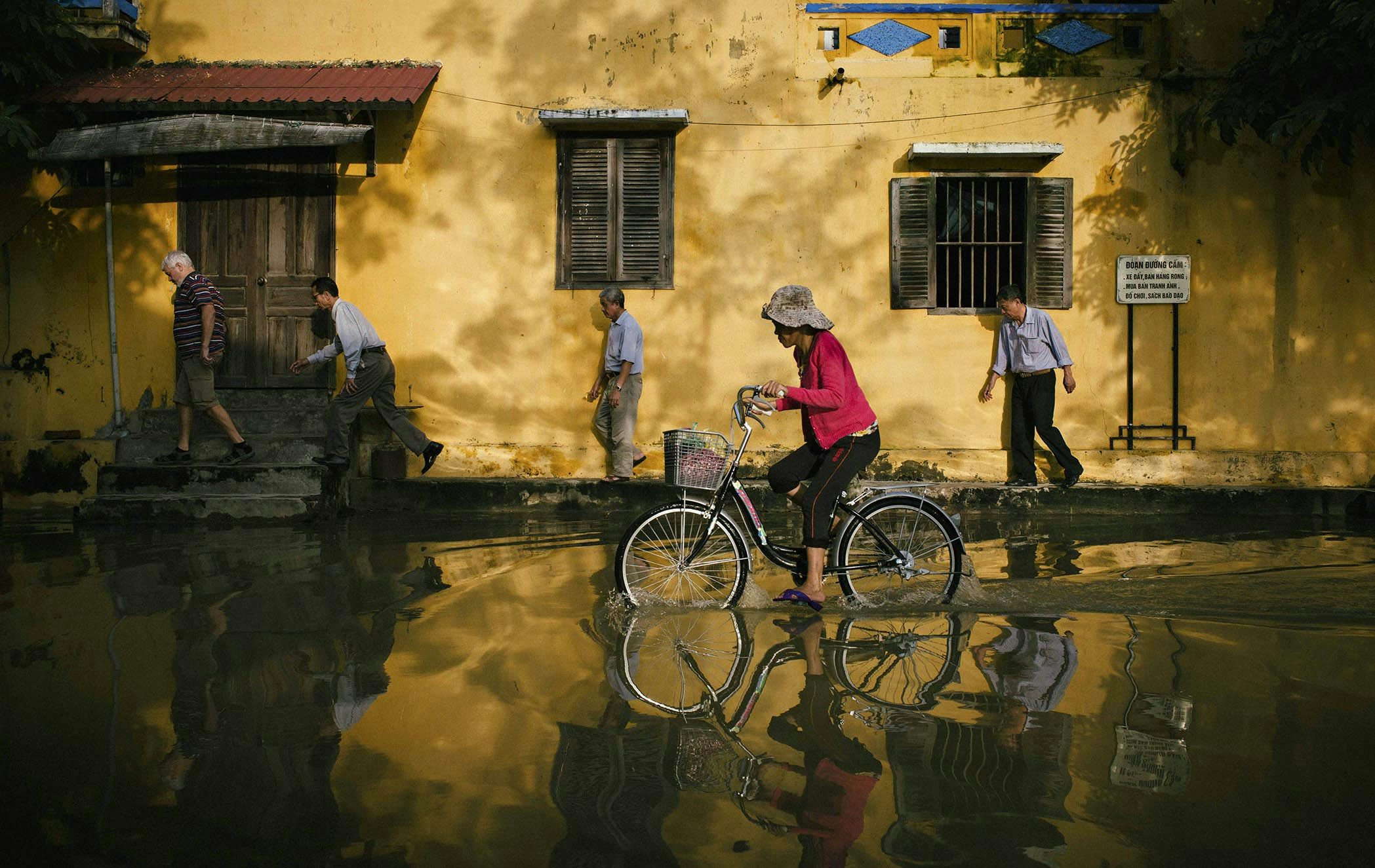
Water is one of the elements most affected by environmental changes. However, validated water data are not always accessible due to sparse in-situ monitoring networks in rivers.
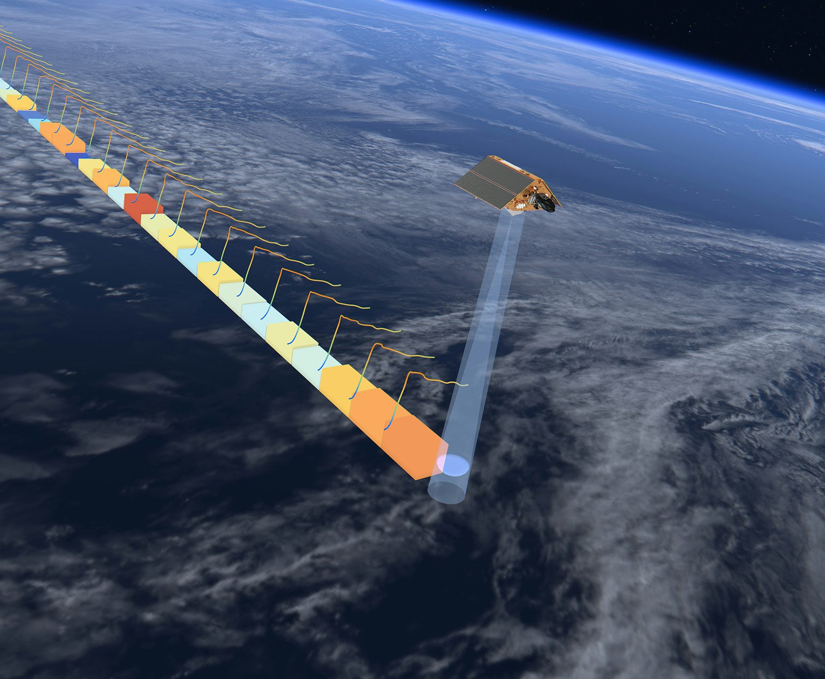
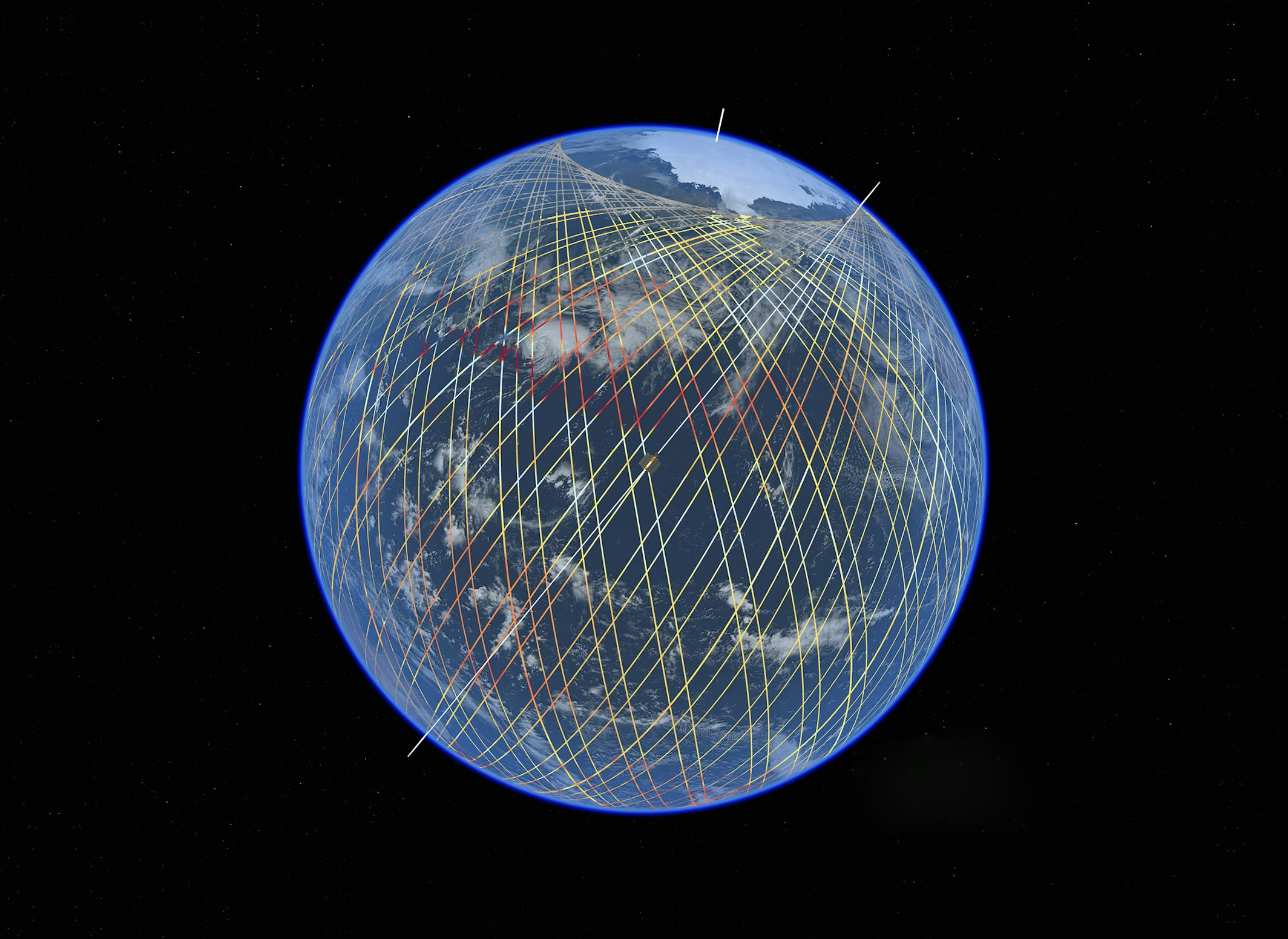
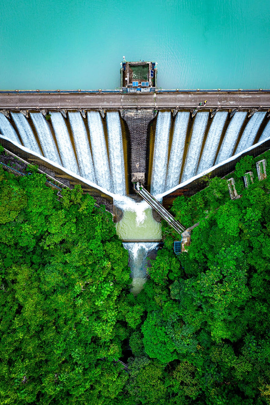
Lobelia Earth uses satellite-based altimetry to monitor the hydrological evolution of an unprecedented number of water basins everywhere in the world as it was never possible before.

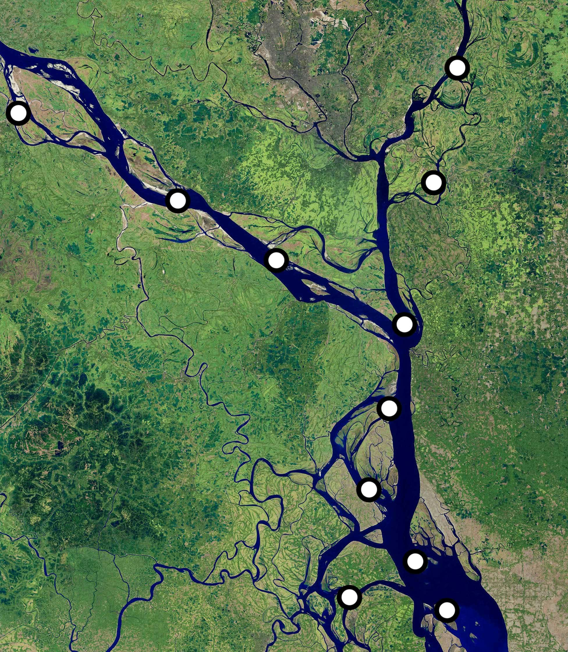
Lobelia combines innovative virtual stations on-demand and validated Earth Observation (EO) data to create accurate water level time series for thousands of rivers and lakes across the globe.
This approach enables Lobelia to map ungauged areas in remote and insecure locations, offering full global monitoring coverage, independent from weather or local conditions.
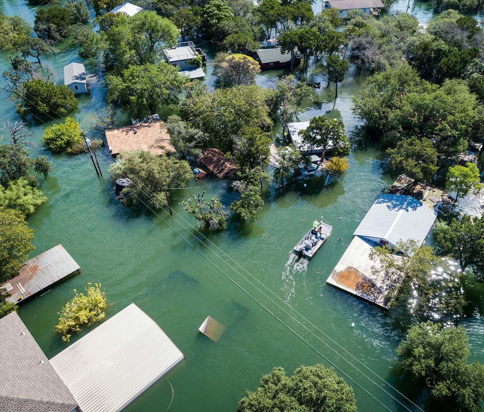
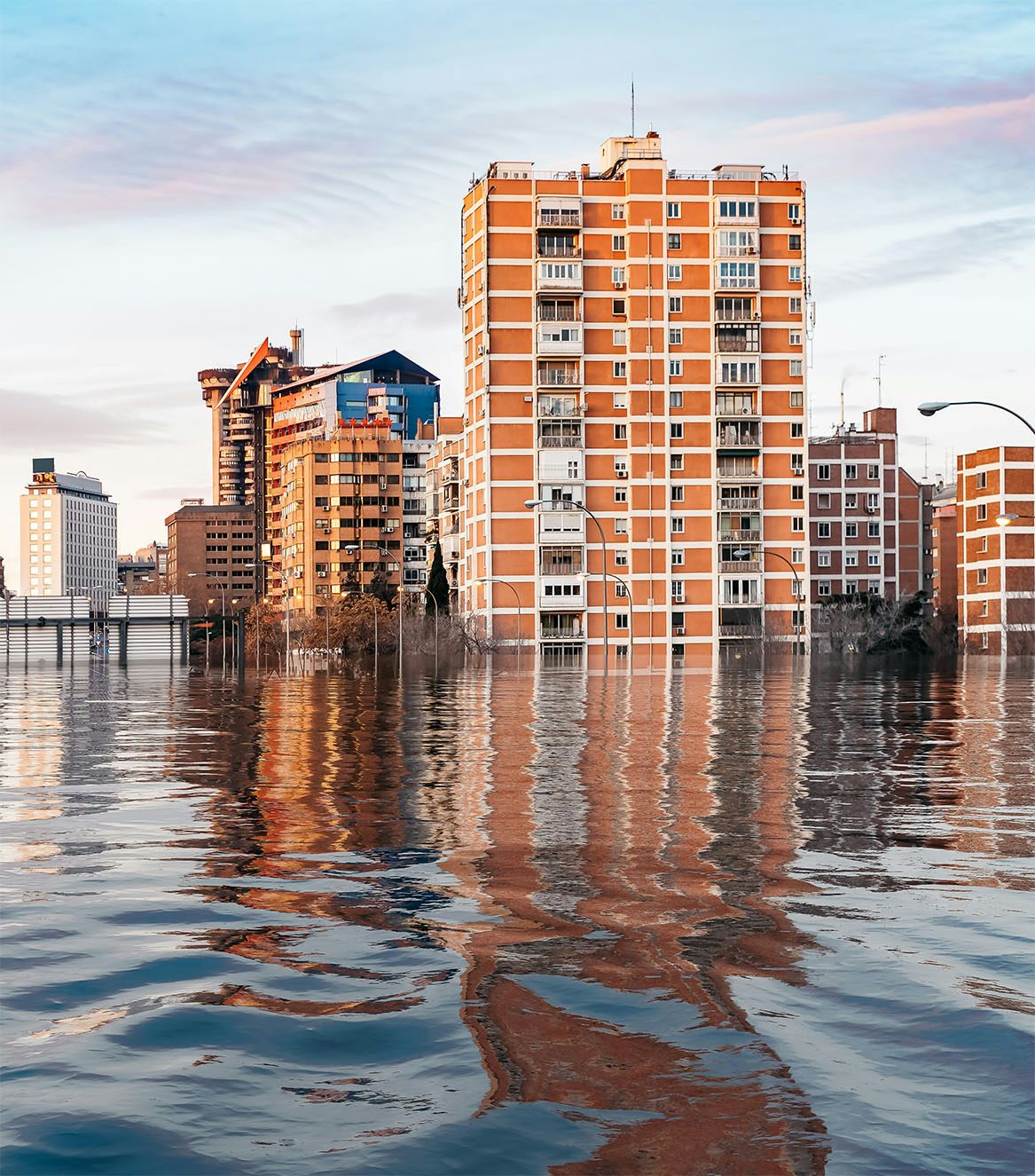
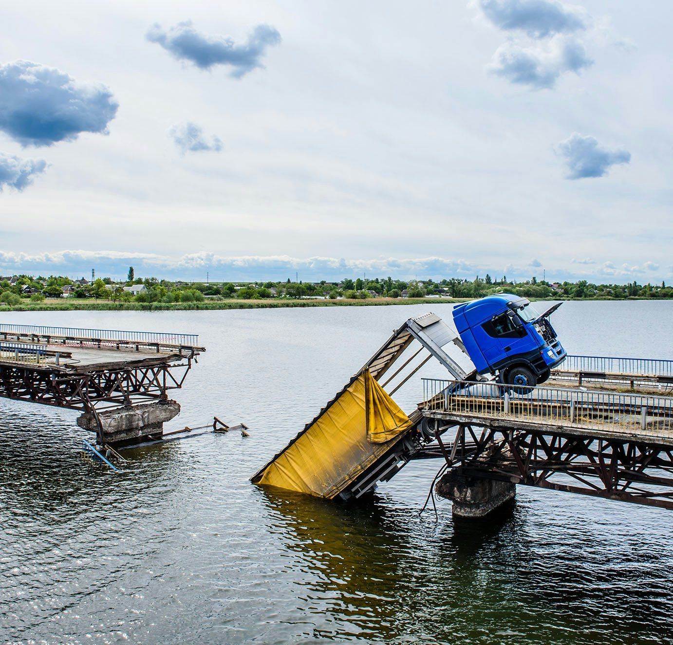
Climate change effects including variations in precipitation patterns and increase of temperatures are affecting the seasonal dynamics of streamflows.
Lobelia provides future projections of water availability and river discharge over the world to support resilience and adaptation plans from national to asset level.
Lobelia provides Level-3 water level time series data, spanning from 2009 up to today, delivered to you in a user-friendly web interface, compatible with any device.
Lobelia water level products are based on solid and proven EO expertise and supported by isardSAT, a Support Laboratory for the European Space Agency and part of the consortium that developed Sentinel-6 altimetry processing algorithm.
Covering an unrivaled number of locations in the world, Lobelia Water Level enables informed and effective decision-making processes.
In a very fast-changing environment where water is an extremely sensitive element, Lobelia water unlocks the capability to increase resilience and prevent potential hazards related to floods and droughts.
Are you interested in knowing more about water monitoring? Would you like to understand how Lobelia can support your business now and in the long-term?
Visit our section Water to explore more case studies or contact us for more information.