Using information from both satellite and in-situ observations, the Copernicus Marine Environment Monitoring Service (CMEMS) provides state-of-the-art analyses and forecasts daily, which offer the capability to observe, understand and anticipate marine environment events. CMEMS is brought to you by Mercator Océan International.
The CMEMS Viewer developed and maintained by Lobelia (MyOcean) allows you to explore most of the CMEMS catalogue online with multi-projection maps as well as graphs vs. time, elevation and/or distance.

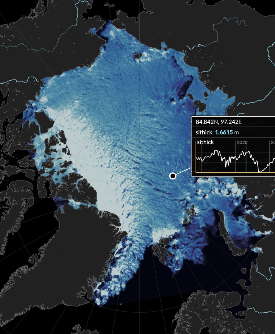
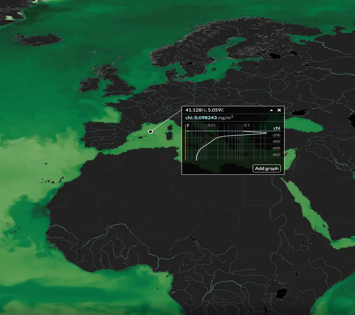
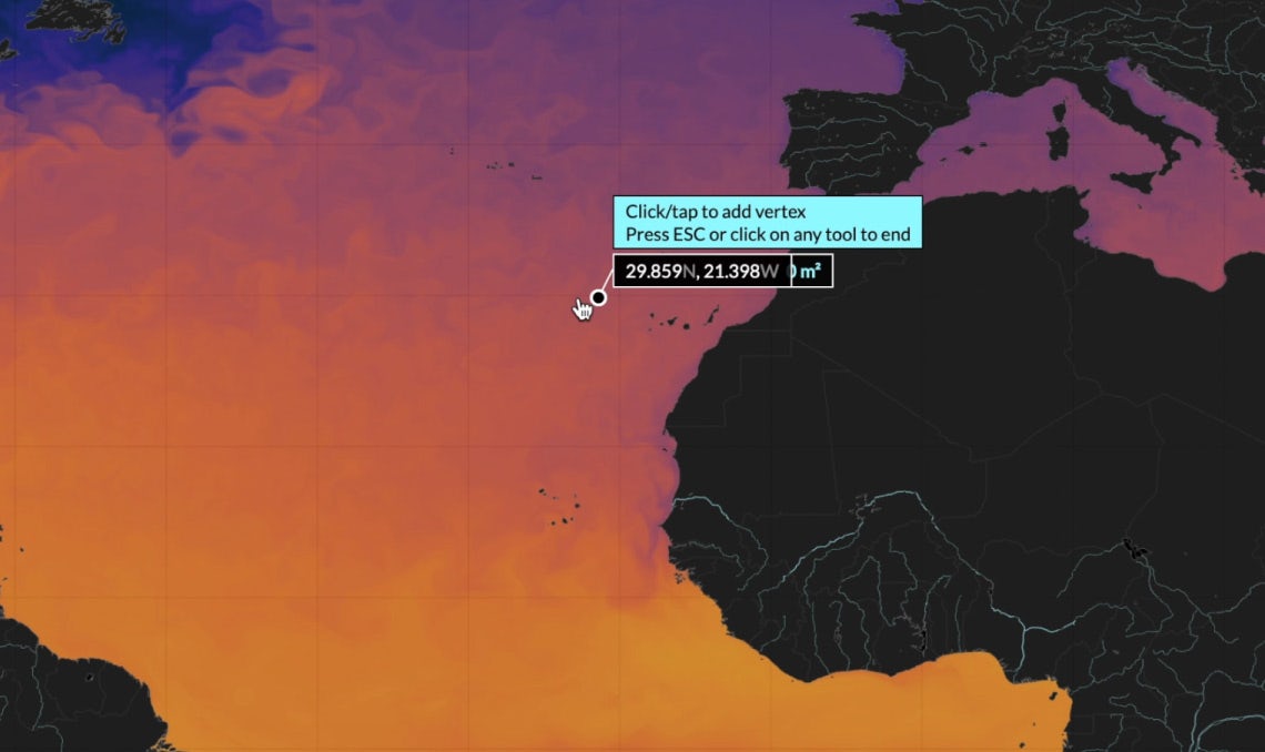
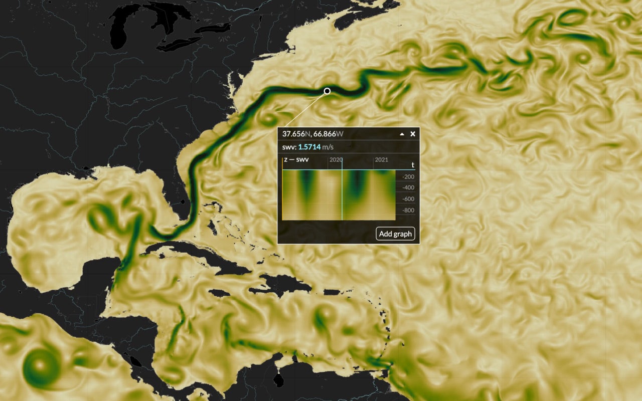
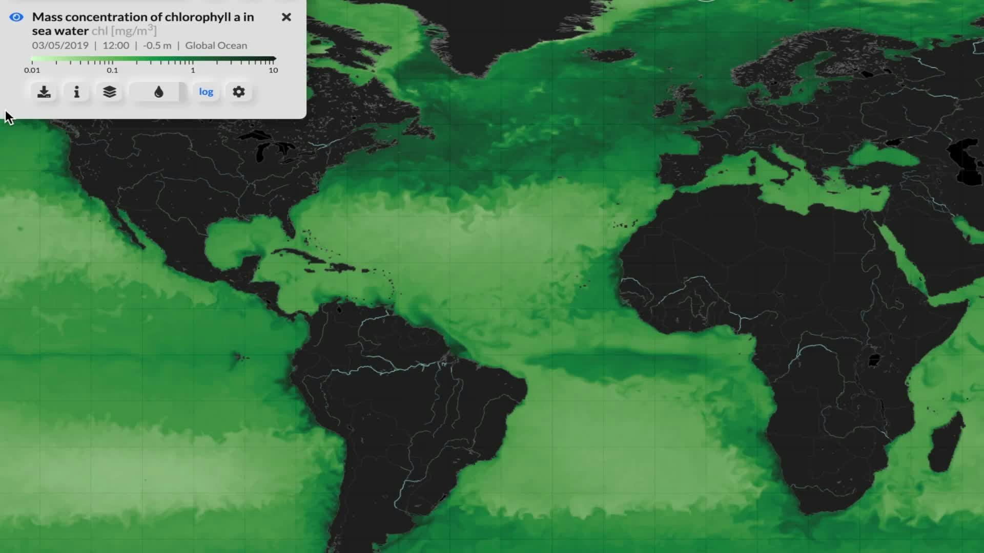
Discover patterns in sea water temperature, navigate through time series, explore depth profiles and time-depth plots. Feel free to pan-zoom, change time and elevation, or even drag points and vertices in our engaging dynamic interface.
Both new and returning users of Copernicus spontaneously engage in exploration and analysis of data. This figure is achieved thanks to the simple yet comprehensive set of data analysis tools and its high performance.
In MyOcean, users can access in one place all the information needed about marine environments, with full global coverage.

Using information from both satellite and in-situ observations, the MyOcean viewer enables you to access and integrate in one place an unprecedent number of products, datasets and layers from Copernicus Marine Environment Monitoring Service (CMEMS), to support a comprehensive yet detailed understanding and representation of marine environment from local to global scales.
Lobelia’s customized and interactive viewers offer a unique browsing and engagement experience, providing added value and enhanced exploration features for a wide set of data.
Discover more of them in our cases studies or contact us.